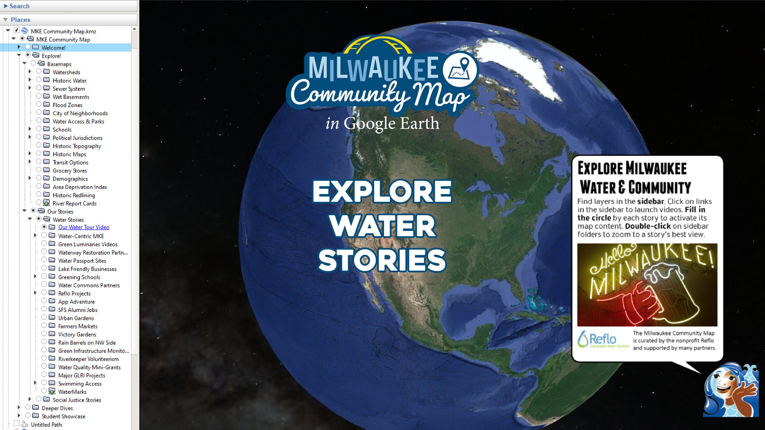
The Milwaukee Community Map is a free and amazing tool that uses the power of Google Earth to visualize stories never before experienced in one place. We curate map stories around the theme of “Water & Community” so you can explore for yourself the collective leadership that supports Milwaukee’s claim as a “water-centric” city.

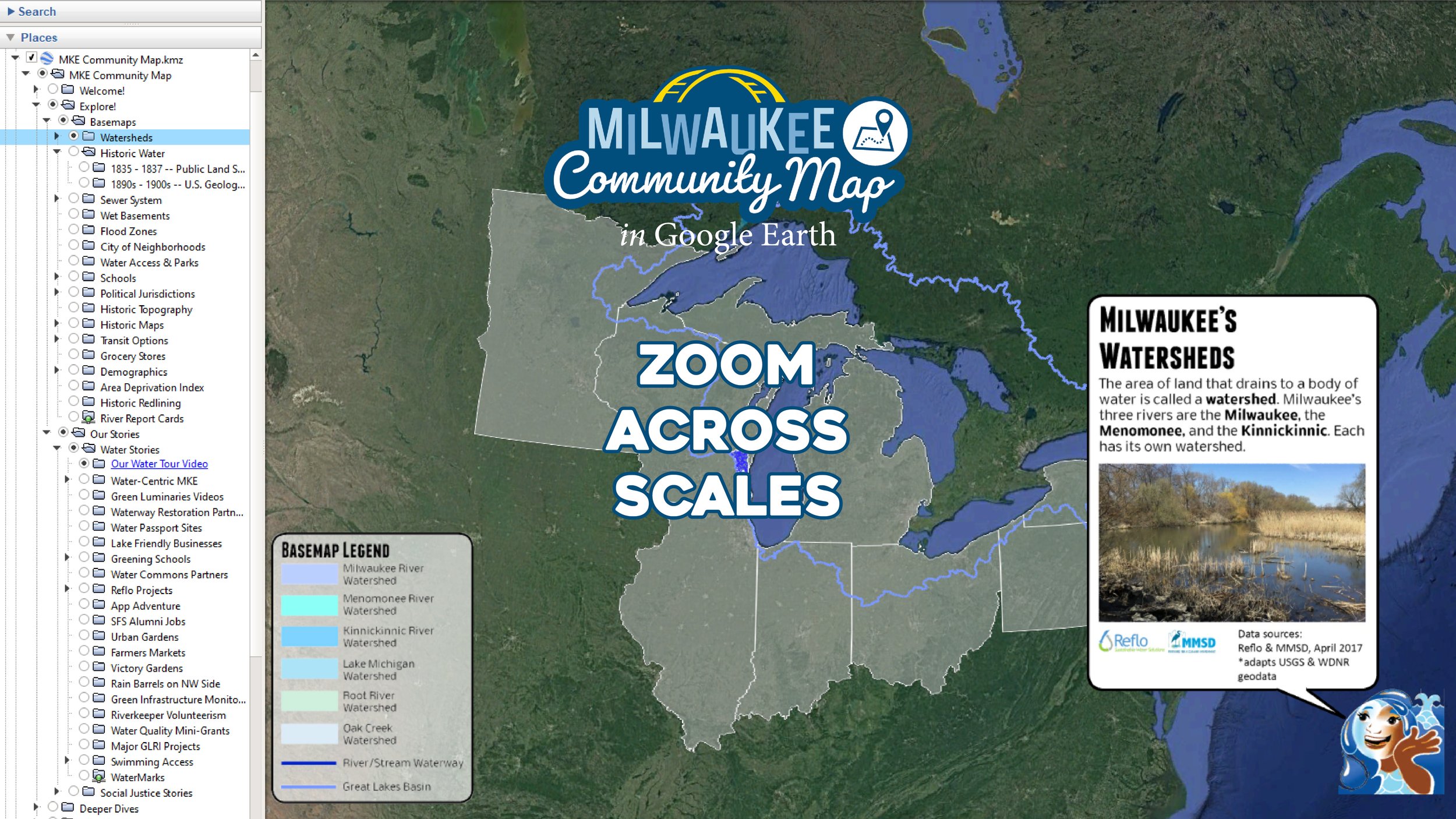
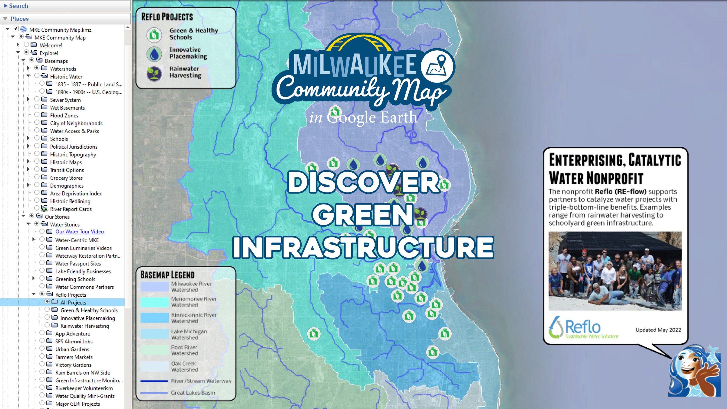
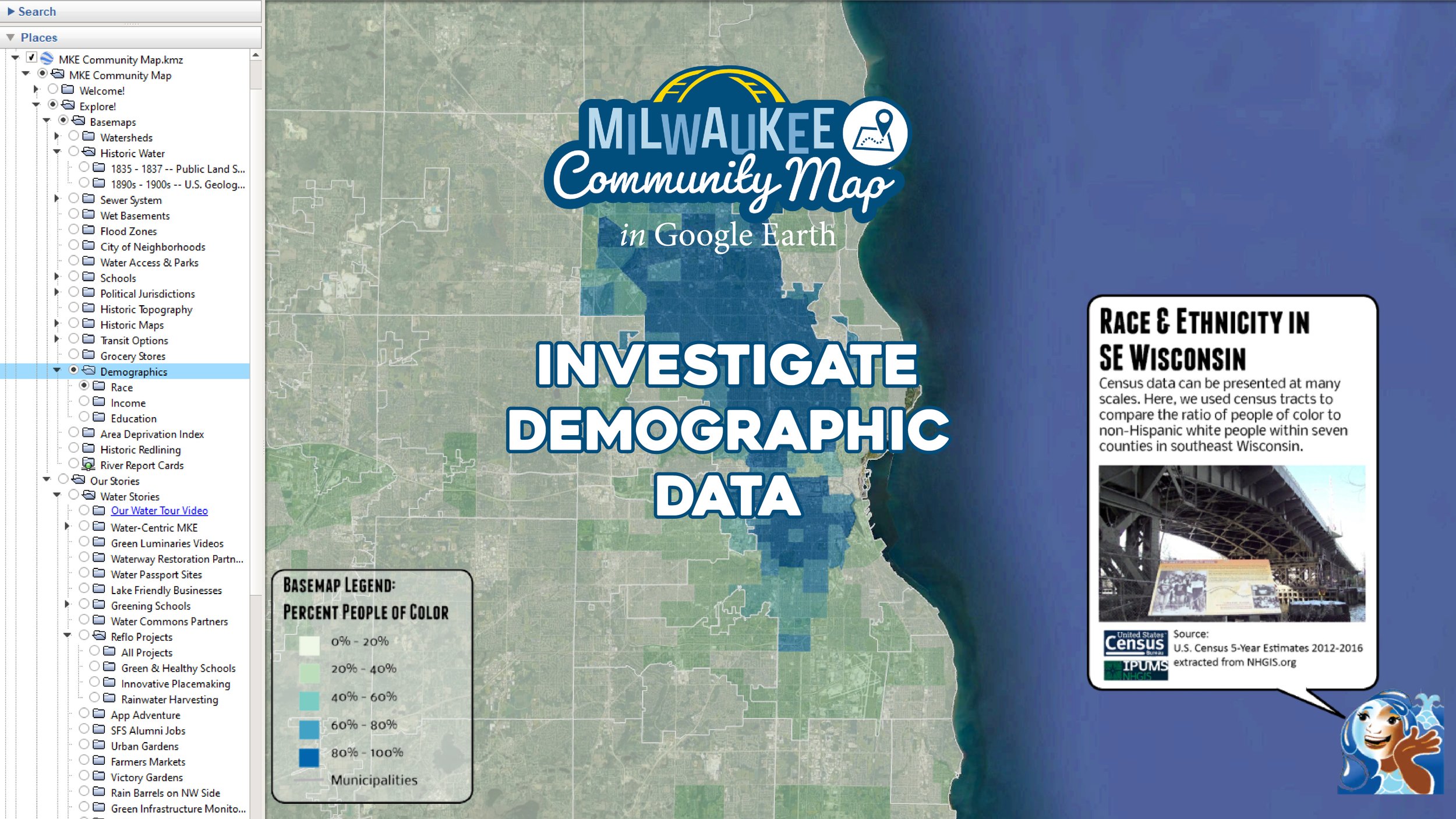
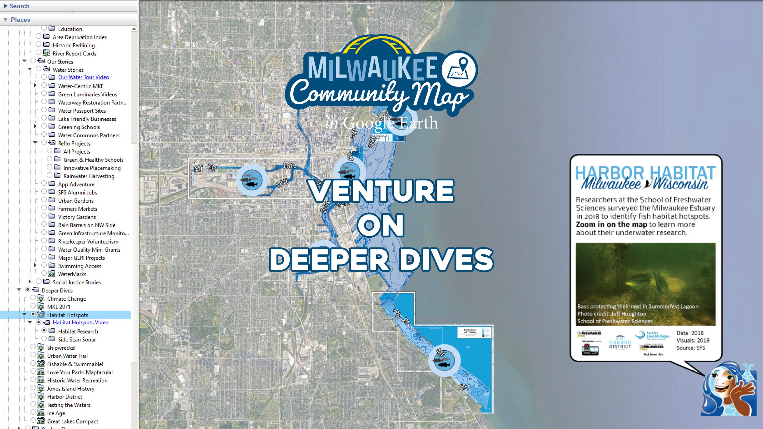
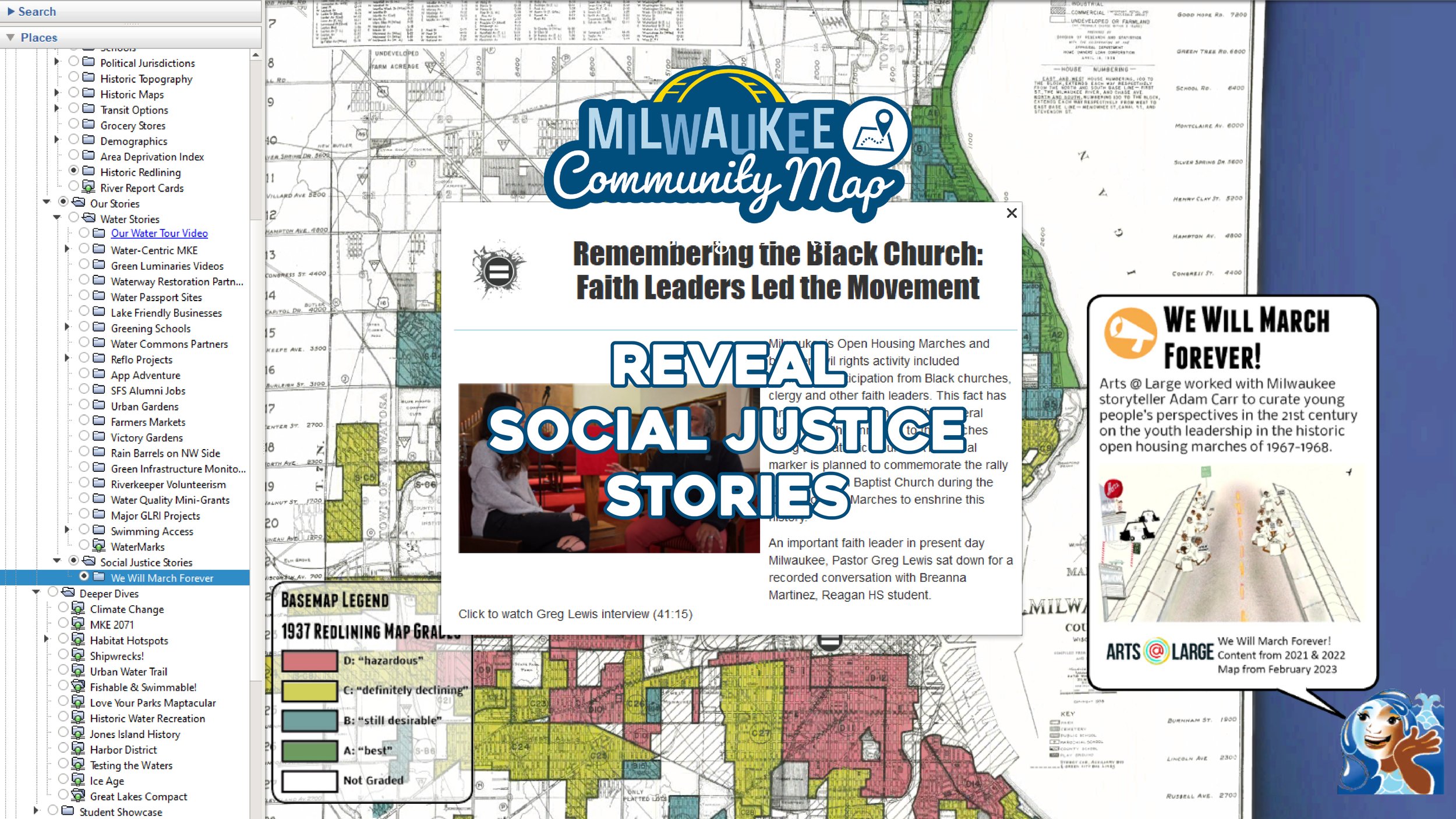
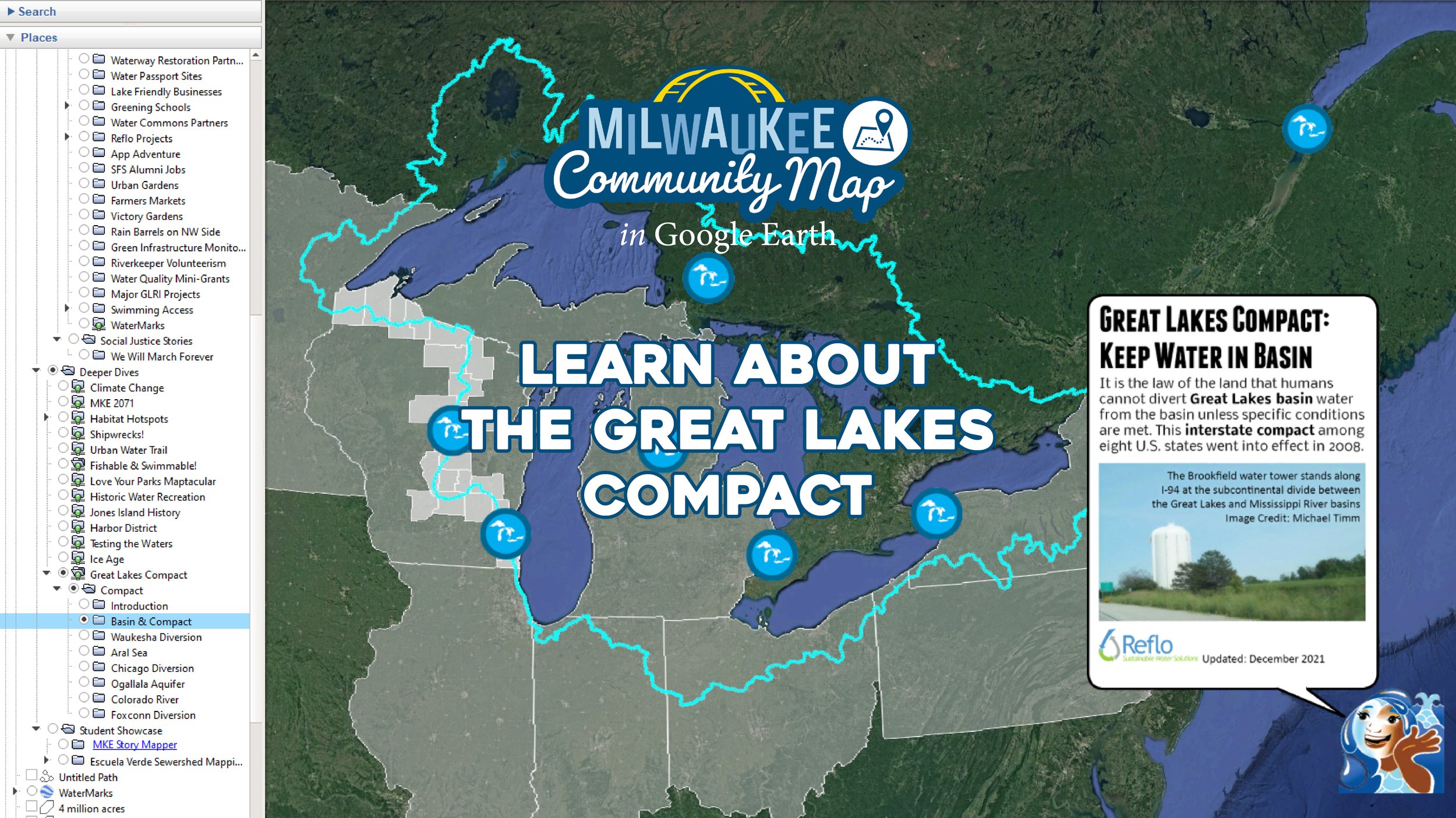
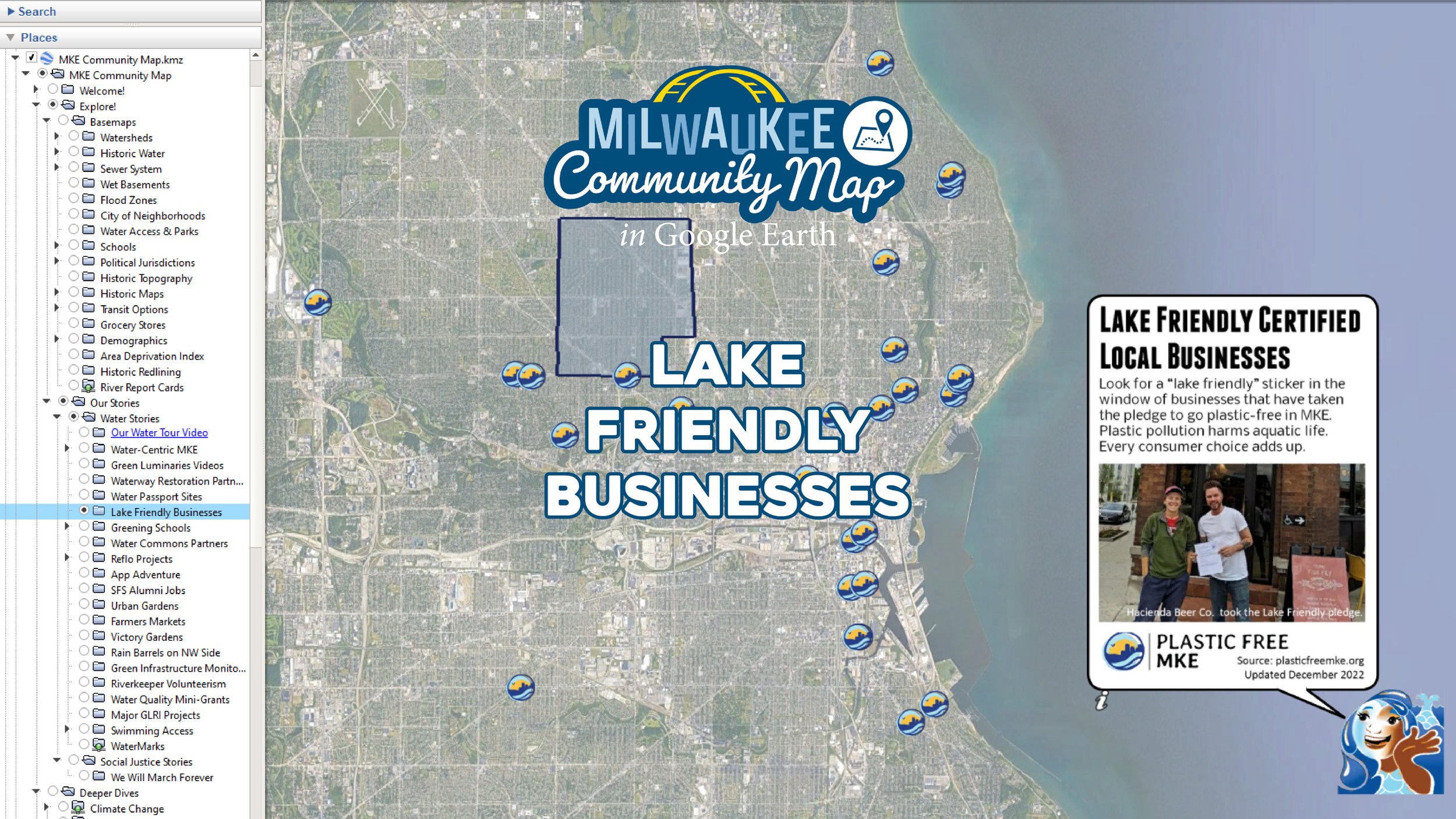
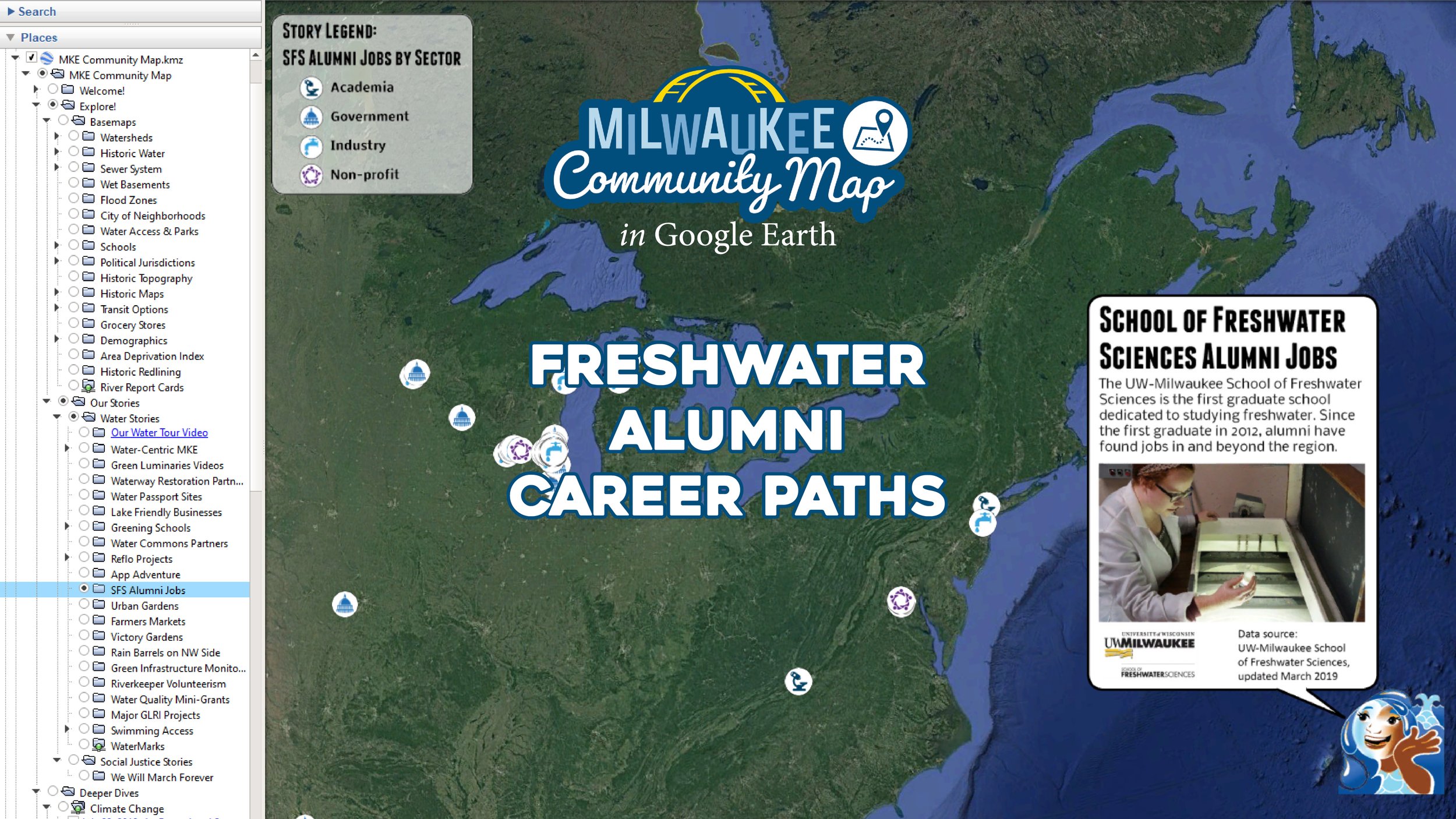
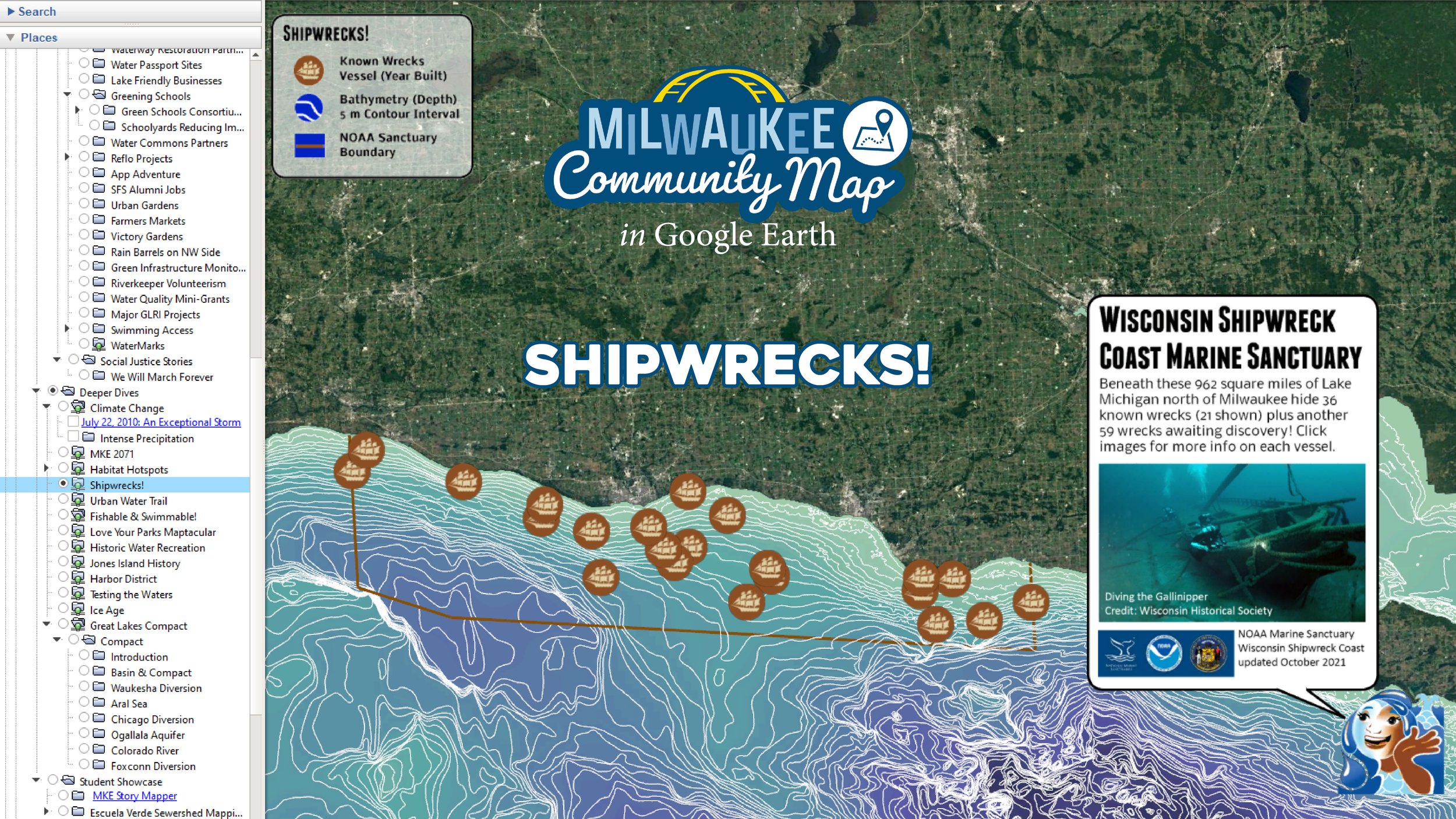
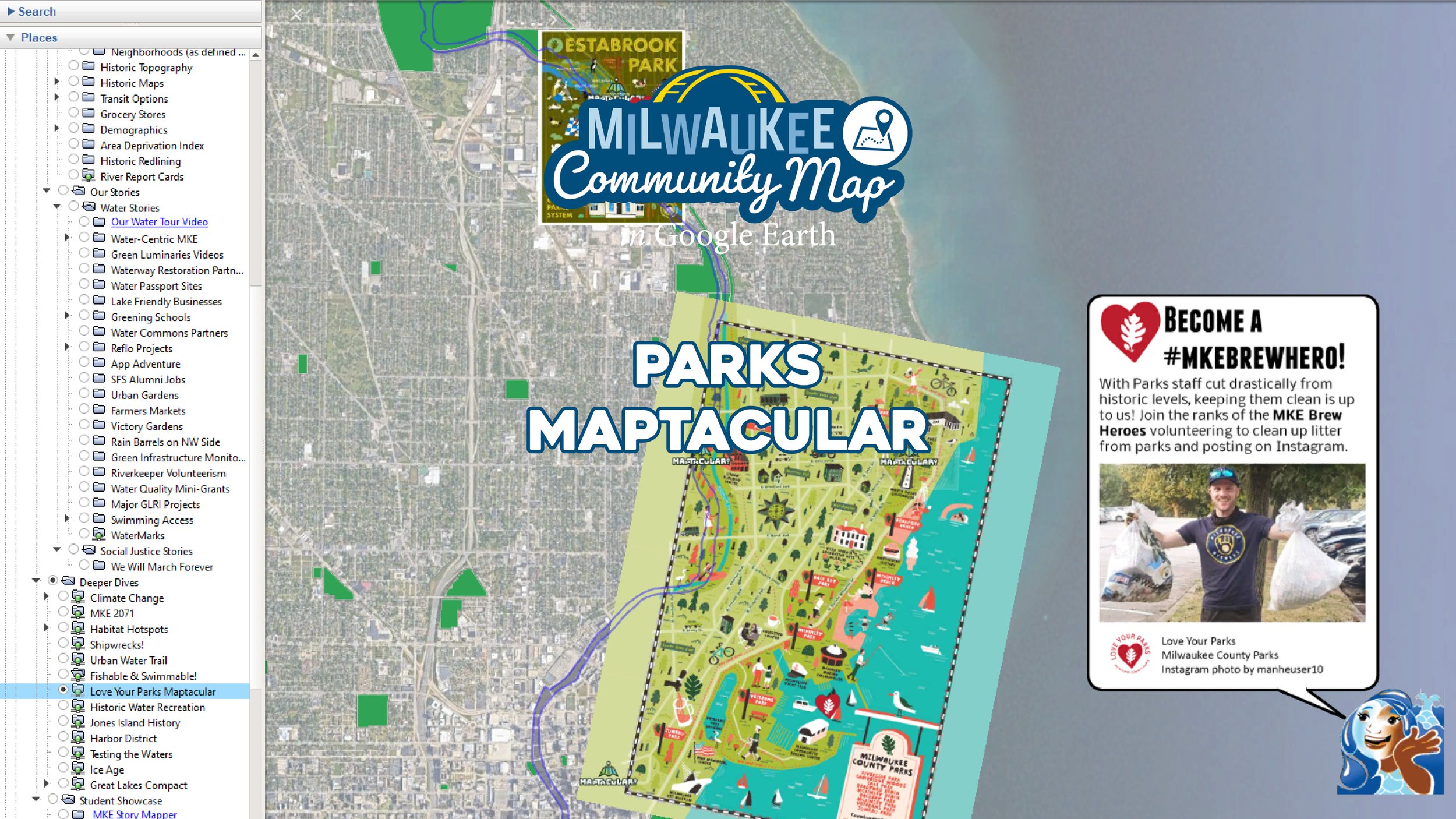
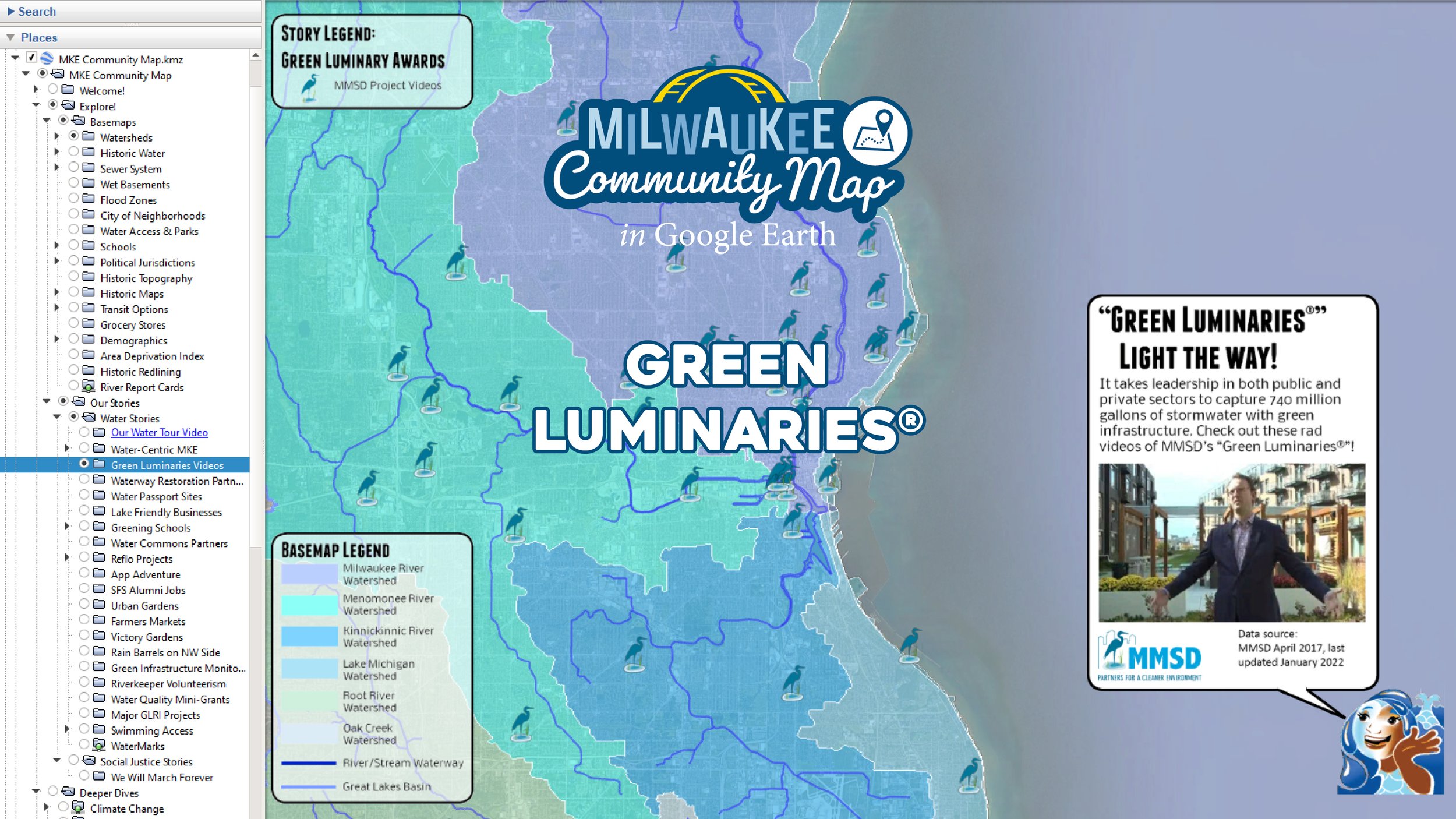
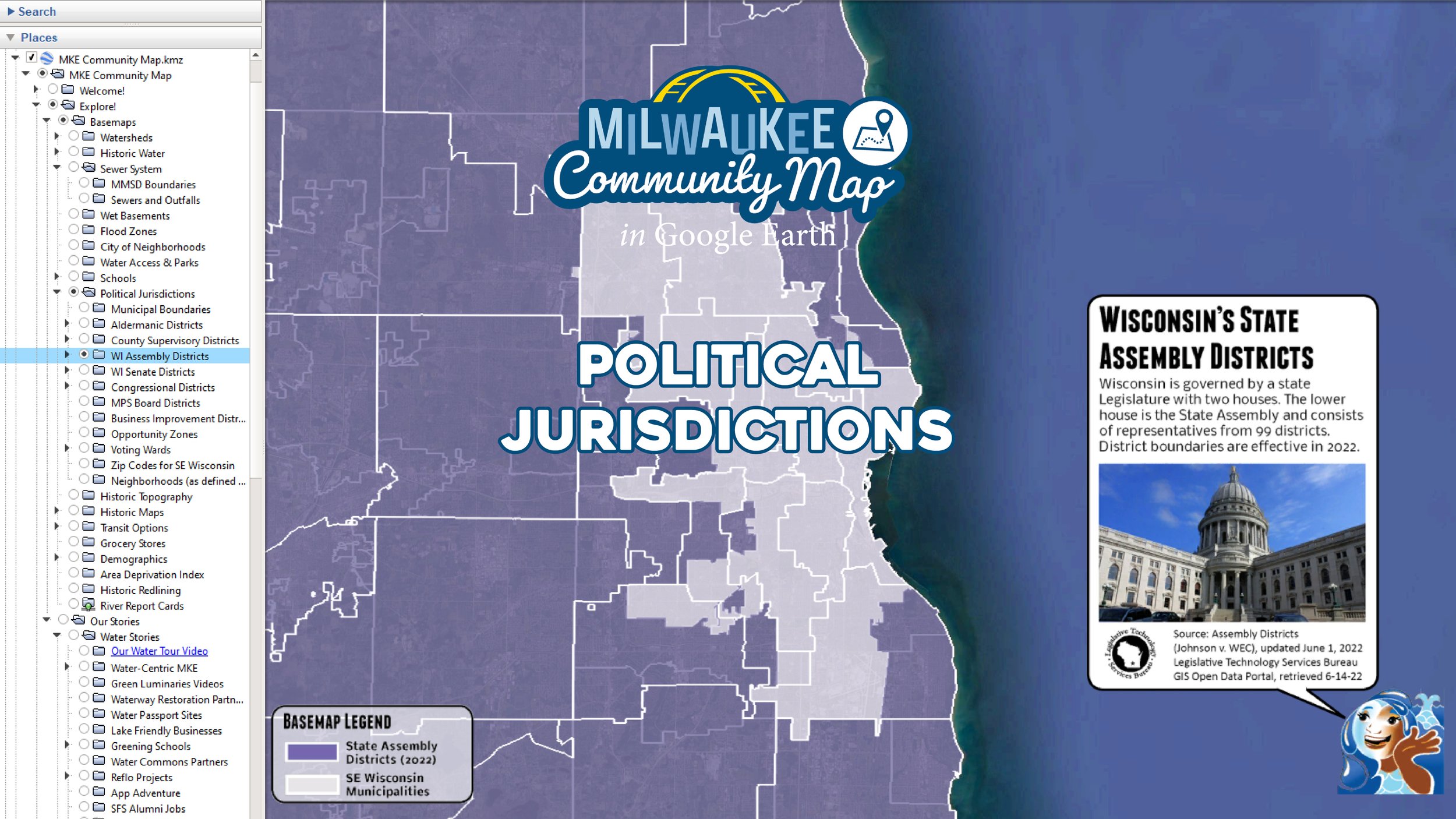
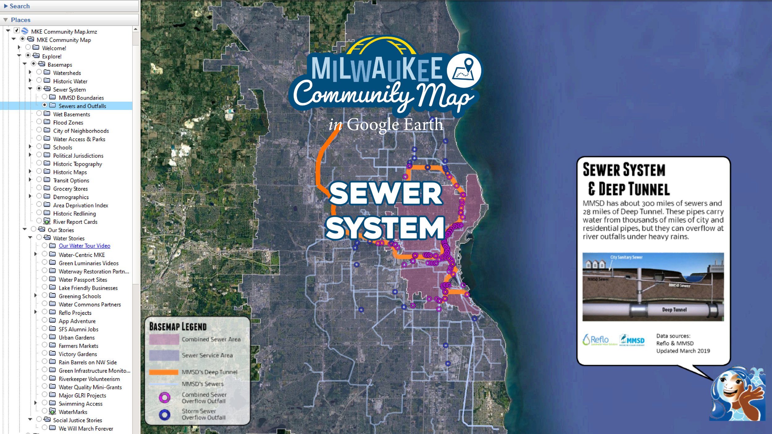
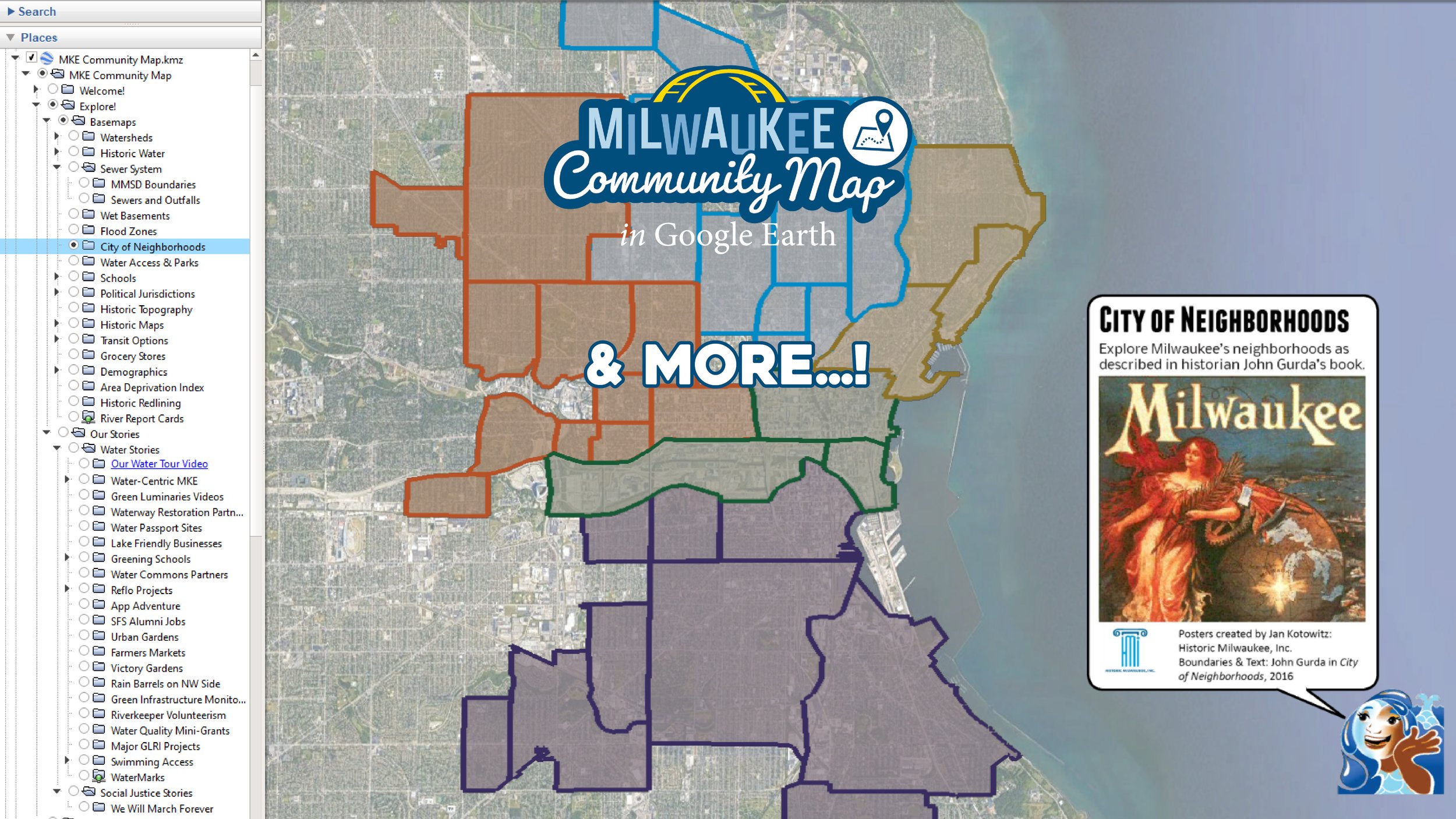
Think of the Milwaukee Community Map (MCM) as a digital pocketknife. Toggle on and off what you want to explore in the Google Earth sidebar. Map layers with clickable features light up in response to your inquiry. A robust suite of Basemaps allows you to rapidly contextualize data across space and time. Our Water Stories present a variety of content shared by local partners making a difference in the community. Scroll down to explore our deluxe assemblage of virtual museum exhibit Deeper Dives supported by various expert partners.


There are many ways to access Milwaukee Community Map resources. Select yours below.


Videos
Want to explore the fruits of the Milwaukee Community Map without diving into Google Earth? No problem. We’ve created some really nifty short videos narrated by Water Storyteller Miranda. Each shares a different facet of Milwaukee’s Water Story.
Our web maps are perfect for teachers, students, or casual browsing. Each shares source and partner info plus brief context. We also share guides for teachers and the public.
Do you know what watershed you call home? This short video, narrated by our Water Storyteller Miranda, introduces watersheds and Milwaukee’s water stories for young general audiences.
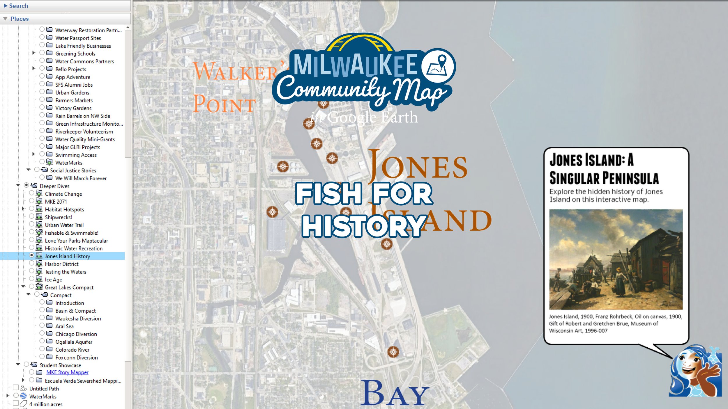
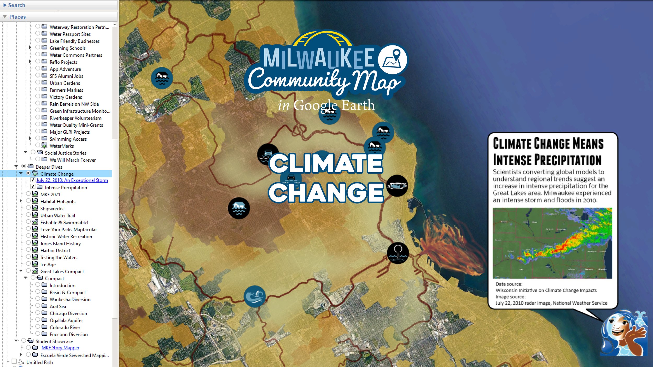
From climate change to fish habitats and envisioning the future to investigating the history of Milwaukee’s harbor, a variety of short videos help you discover water stories hidden in plain sight.
-
The Milwaukee Community Map has been funded through grants and contracts, with content shared by community partners. We are grateful for the opportunity to steward this unique resource.
Thanks to support from Brico Fund and the Wisconsin Coastal Management Program, Milwaukee author and historian John Gurda partnered with us to present animated Water History Tours showing how Milwaukee's waterscape has been transformed by human activity. The tours are shared above as videos and in the Milwaukee Community Map via Google Earth.
The pilot phase of the Milwaukee Community Map was supported by Brico Fund (2016-2017). Phase 2 was also supported by Brico Fund, and from July 2018 through June 2019, in part by the Wisconsin Department of Administration, Wisconsin Coastal Management Program, and the National Oceanic and Atmospheric Administration, Office for Coastal Management under the Coastal Zone Management Act, Grant #NA18NOS4190091.
The City of Milwaukee’s Environmental Collaboration Office supported the creation of the Water Centric City video and interactive map in late 2019. NOAA B-Wet grant support for Riveredge Nature Center’s Testing the Waters program allowed for integration of 30 years of Testing the Water student water quality data.
From July 2020 through December 2021, the Wisconsin Coastal Management Program supported the Milwaukee Community Map’s Water Stories on climate change, tourism, and public project collaborations. Funded by the Wisconsin Coastal Management Program and the National Oceanic and Atmospheric Administration, Office for Coastal Management under the Coastal Zone Management Act, Grant # NA20NOS4190092.