

Activity Summaries
Maps for Education
If you are a teacher looking for your students to access the Milwaukee Community Map on their Chromebooks or right in the web browser, along with an easy lesson plan and ample activities suggestions for your students in grades 6-12, then the Maps for Education page is for you!
This teaser video provides an overview of what educators can expect with our Watershed Explorations lesson plan.
Video Tours
Want to explore the fruits of the Milwaukee Community Map without diving into Google Earth? No problem. We’ve created some really nifty short videos narrated by Water Storyteller Miranda. Each shares a different facet of Milwaukee’s Water Story. Click the header to link to an assortment of videos to choose from.
Have you ever wondered where our water comes from and where it goes? Milwaukee Water Storyteller Miranda takes you on a two-minute tour of the Milwaukee-area watersheds. A perfect intro for any audience.
Enjoy 10 other short videos that highlight water stories with interactive features showcased here with more to explore in the Milwaukee Community Map in Google Earth. Thematic explorations ranging from water history to underwater science.

What Is Your Watershed?
Here’s a handy web map to help orient to our Milwaukee-area watersheds. Do you know what watershed you live in? A watershed is the area of land that drains into a body of water. These are the watersheds for the Milwaukee, Menomonee, and Kinnickinnic Rivers. The Oak Creek and Root River watersheds and the areas that drain directly to Lake Michigan are also shown.
Testing the Waters Data Dive
In 2019 and 2020, Reflo supported Riveredge Nature Center’s Testing the Waters program to present 30 years of student-collected water quality data through the Milwaukee Community Map. This is presented publicly as a “Deeper Dive” on the Milwaukee Community Map. We also present web maps for the browser. To learn more about the student data and associated context, click on the header link above.

Now you can explore Milwaukee Community Map resources in Google Earth in the Chrome web browser.
Viewing on a Smartphone, Chromebook, or Tablet?
We have made several Milwaukee Community Map data and story layers accessible for phones, Chromebooks, and tablets. Click above to access these exciting maps via Google Earth in the Chrome web browser or the Google Earth app for smart devices.
Teacher Chromebook Support
In 2020, Reflo supported Learn Deep Milwaukee and several schools involved in the Adopt-a-Storm-Drain program sponsored by Southeastern Wisconsin Watersheds Trust. Especially with the virtual emphasis to learning this school year, Chromebook resources are in high demand. Teachers and students can download the map files and use these lesson support materials to learn more about our sewer system.
Explore your relationship to our sewer areas in Google Earth online guided by our curricular resources.
Reflo offers a sewershed mapping activity template that schools can apply to their own neighborhoods to investigate, document, and share local water quality and quantity learning. In the referenced activity, supported by Reflo and MMSD at Escuela Verde, teams of students make observations from the field (in this case of an alley nearby a school) and use our Milwaukee Story Mapper to create their own interactive maps to present in Google Earth. The hands-on activity results in real-world parameter estimates that inform green infrastructure designs to manage local stormwater. We also share the resulting maps in the Student Showcase section of the Milwaukee Community Map.
How well do you know Milwaukee’s neighborhoods?
This screen recording of a June 7, 2022 Zoom session features a fun quiz activity with 10 questions on Milwaukee’s neighborhood posters illustrated by Jan Kotowicz and available through Historic Milwaukee, Inc. The map layer was shared with permission of Historic Milwaukee, Inc. and Milwaukee historian John Gurda, who authored the 2015 book, Milwaukee: A City of Neighborhoods. The quiz runs from approximately 10:00 to 18:30. The remainder of the video shows an overview of the Milwaukee Community Map. You can play the quiz yourself and hunt for the posters using the companion web map or Chrome map.
10-question quiz runs from ~10:00 to 18:30 in the video. Use the companion maps to see how well you know Milwaukee’s neighborhoods!
This page contains activities you can explore in the Google Earth app for Chrome, your phone, or tablet. Each activity contains a linked file with preselected geographic layers that frame each inquiry.
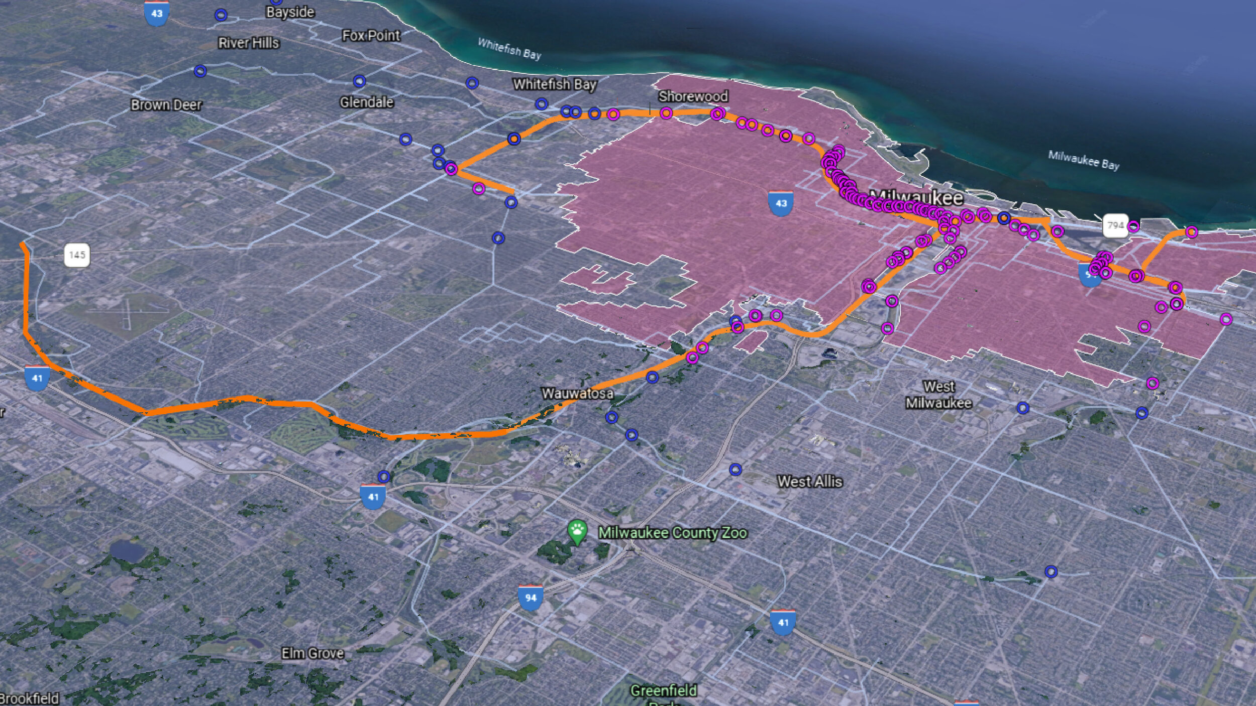
Learn about who you share a watershed with, who you vote with in elections, who you flush the toilet with, and who you call neighbor.

Do you know who you vote with in Wisconsin elections?
Overview & Tutorial Webinar Video
We hope you are now really excited about exploring the Milwaukee Community Map in Google Earth on Desktop! To help you in that exploration, we encourage you to check out this longer tutorial video. We include common tips and tricks to navigating Google Earth itself that can help first-time users become seasoned explorers in no time! Like anything, Google Earth takes a bit of practice to really learn. The video’s about 20 minutes, but we hope you find the time well spent.
A Community Resource
The Milwaukee Community Map is a resource of, for, and by the community. The nonprofit Reflo - Sustainable Water Solutions curates the map. Community stakeholders use and maintain it and meet annually to review and guide its progress.
Scroll down to check out some of our partner organizations who have sponsored map stories and data shared through the Milwaukee Community Map.
We are open to new collaborations.

Engineer Janee Pederson, who volunteers her time and expertise on the Milwaukee Area of Concern community advisory committee, uses the Milwaukee Community Map to engage the public at a meeting about the AOC at Discovery World in November 2019.