
Port Milwaukee Salt Transport Map
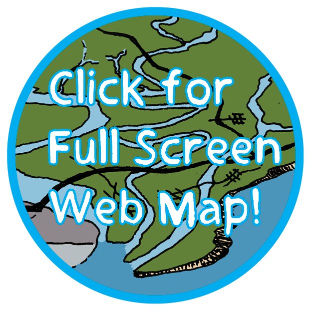
Click the button to open a web map that shows Great Lakes salt mine locations, salt shipping data, and salt distribution through Port Milwaukee to 16 Wisconsin counties through the WisDOT shared salt bid.
Click each map icon to learn more via text, links, and illustrations.
The map was created by Michael Timm in support of companion articles in Urban Milwaukee.
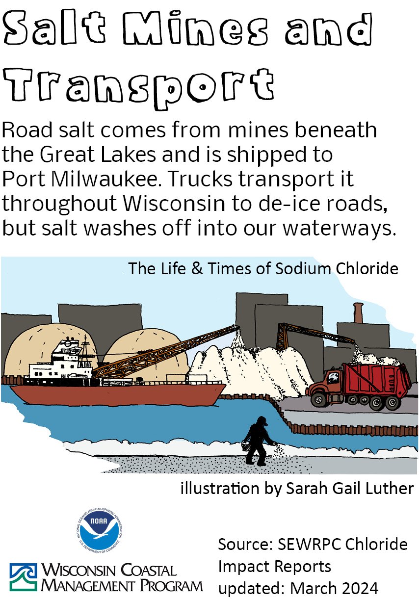
The features were illustrated by Sarah Gail Luther and tie in to our “The Life and Times of Sodium Chloride” illustrated companion story.
The map icons inspired were derived from Sarah Gail Luther’s illustrations.
The web map uses the Google Maps API to provide the intuitive basemap of either satellite imagery or street grid.
We invite you to explore the web map in your browser and encourage you to explore to greater depth through the Milwaukee Community Map in Google Earth. This web map will be integrated there later in 2024.
Map Metadata per NOAA Requirements
-
Michael Timm researched the data.
-
The data was collected in 2024.
-
The data was processed using Reflo’s Milwaukee Story Mapper.
-
Michael Timm exercised his judgment in presenting meaningful material for the public through this web map.
-
This map is presented as a KML file with clickable KML styled bubbles.
-
If you would like to share or reproduce this web map, please contact Michael Timm and he will be happy to address your inquiry.
These environmental data and related items of information have not been formally disseminated by NOAA, and do not represent and should not be construed to represent any agency determination, view, or policy.
This map is funded by the Wisconsin Department of Administration, Wisconsin Coastal Management Program and the National Oceanic and Atmospheric Administration under the terms and conditions of this Agreement.
Award Number NA22NOS4190085 Grant #AD239125-024.21
Funded by the Wisconsin Coastal Management Program and the National Oceanic and Atmospheric Administration, Office for Coastal Management under the Coastal Zone Management Act, Grant # NA22NOS4190085.