

Mapping a Greener Future
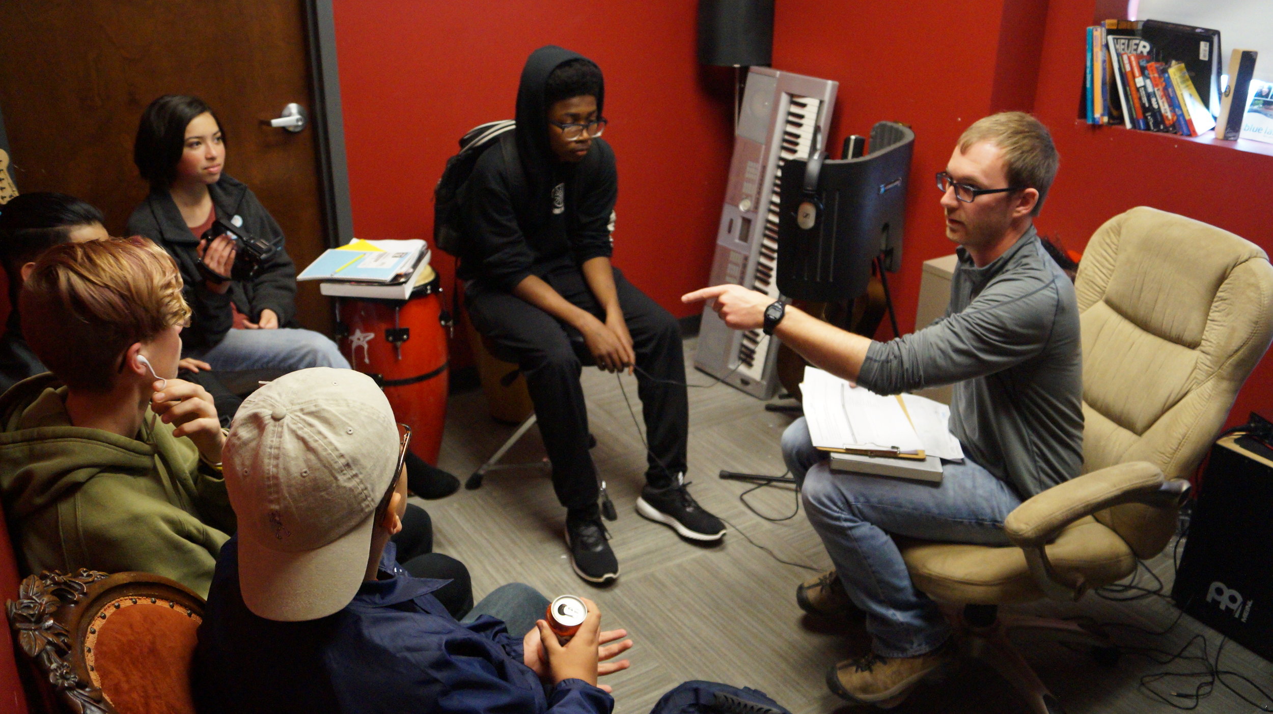
Starting in January 2017 Reflo and Escuela Verde's Green Team, consisting of about 20 students and advisors, met on almost a monthly basis to develop a conceptual plan for green infrastructure (GI) on a vacant lot owned by the school. On a parallel path, the local neighborhood association, Lisbon Boulevard West Neighbors (LBWN), organized a team of landscape architects to think through creative peacemaking features for the lot as well. As part of the GI planning effort, students conducted a sewershed mapping activity that Reflo created to connect the Milwaukee Community Map and student project based learning focused on urban watersheds (see details below). The GI project calls for a 60,000 gallon cistern, a bioswale, and native plantings that manages stormwater from the nearby alley.
Escuela Verde
3628 W Pierce Street, Milwaukee, WI 53215
2016 / 2017
GI Conceptual Planning Cohort
7th - 12th Grades
Charter School
110 Students
81% Reduced Lunch
Green Infrastructure Project Highlights
Green Infrastructure Conceptual Plan
The conceptual plan calls for diverting stormwater runoff from a public alley into Escuela Verde's privately owned property (one of the first to do so in the City). The stormwater would be treated in ~900 sq ft of bioswales and ~2,000 sq ft of native plantings, before being stored in a 60,000 gallon underground cistern built by the school, neighborhood, and supporting environmental community. Check out all of the details in the below plan!
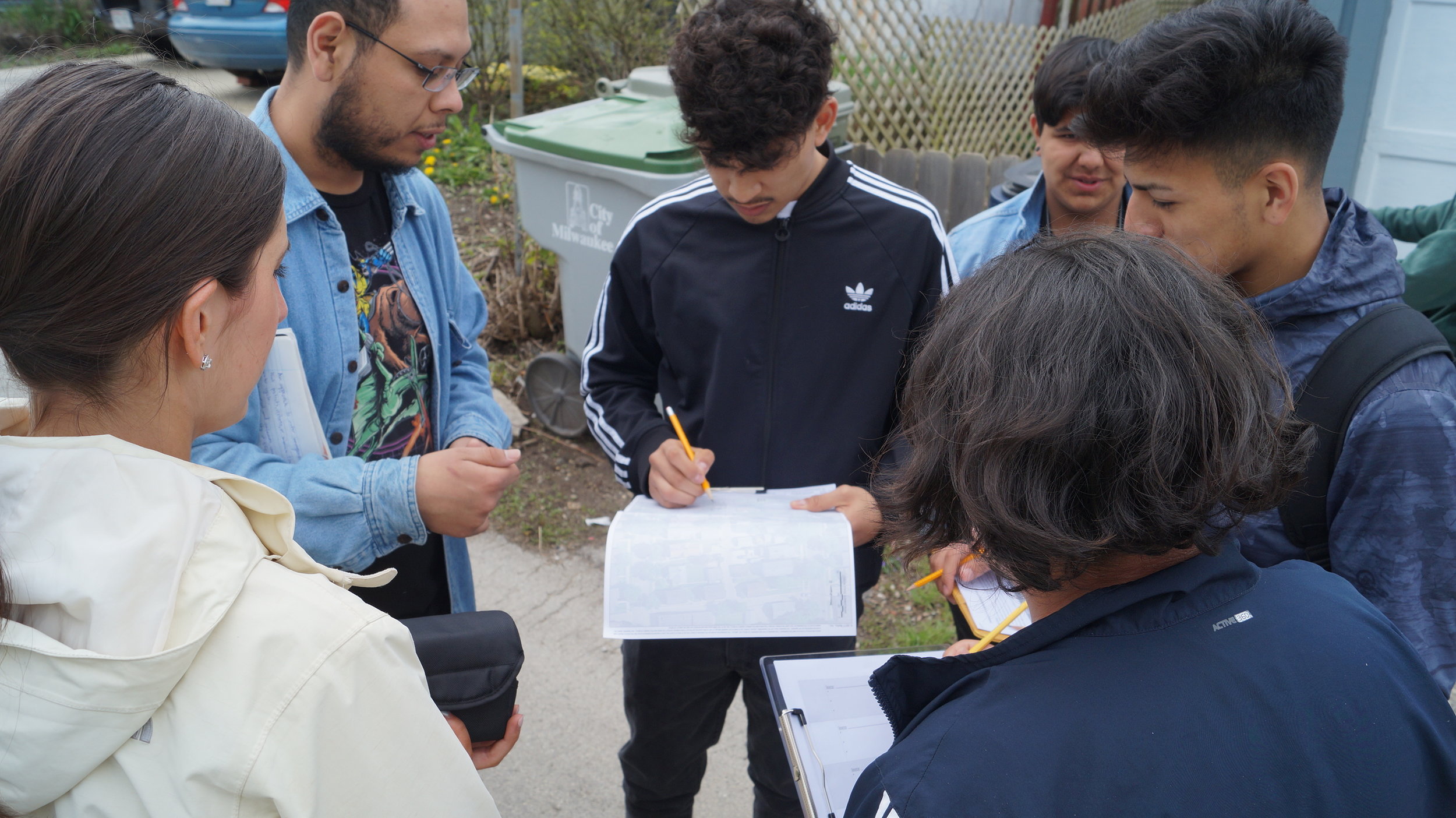
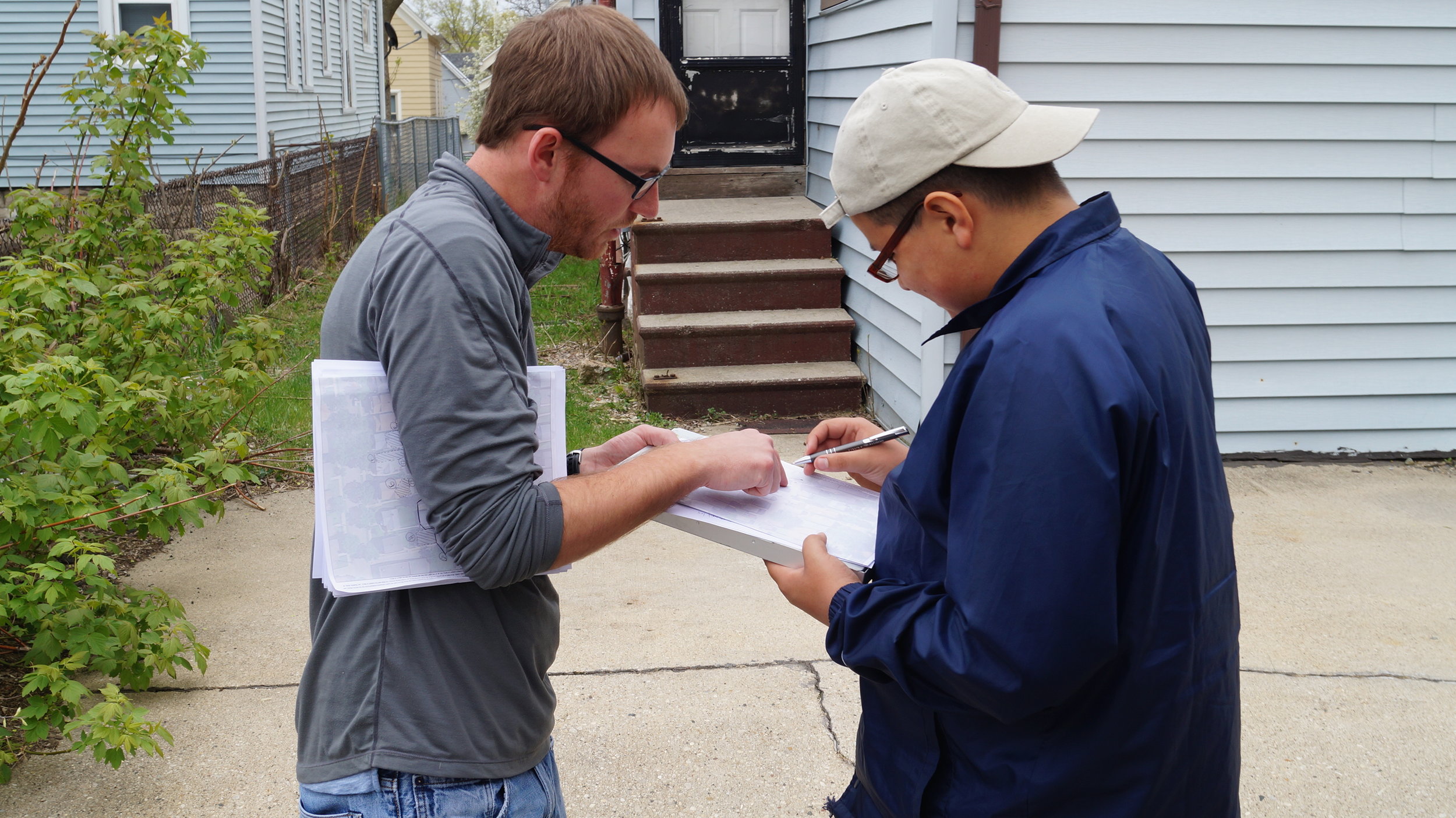
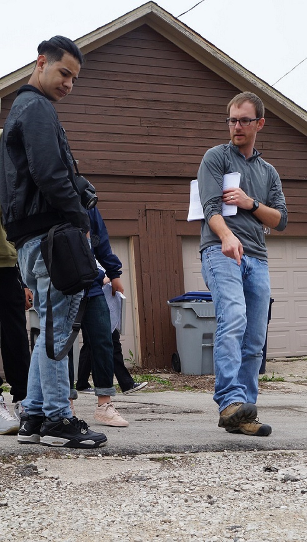
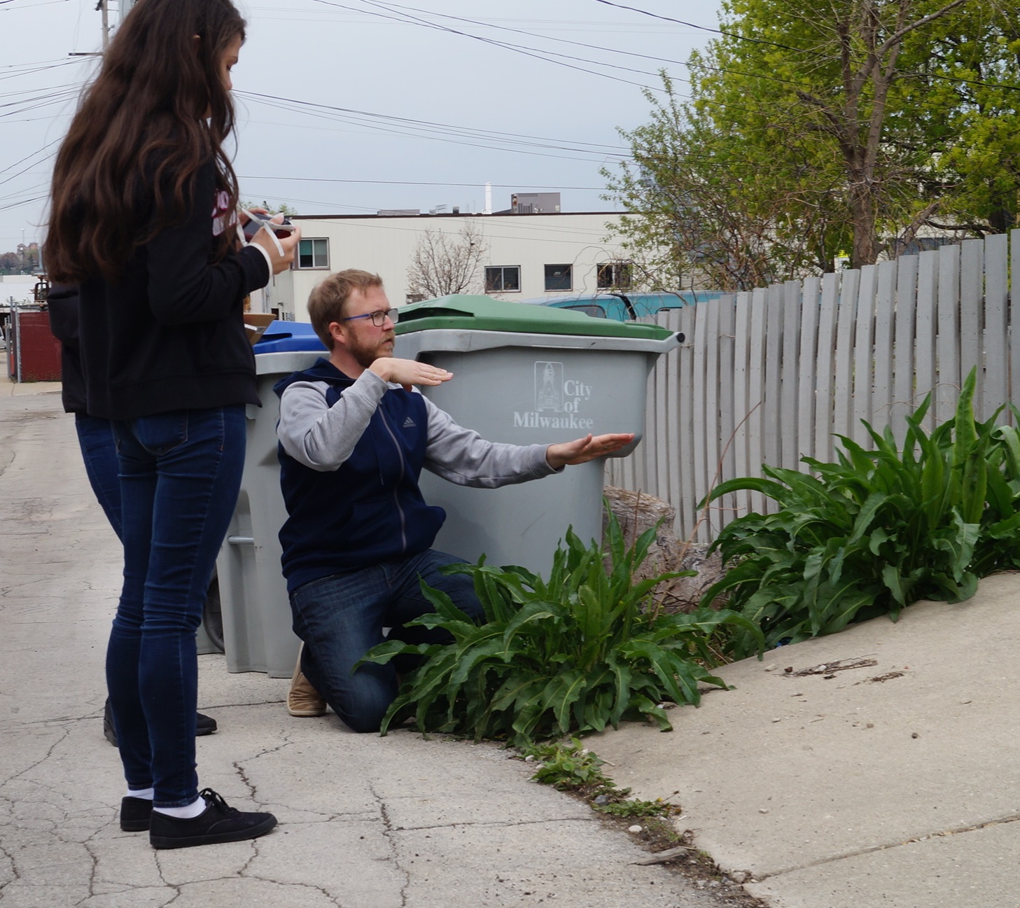
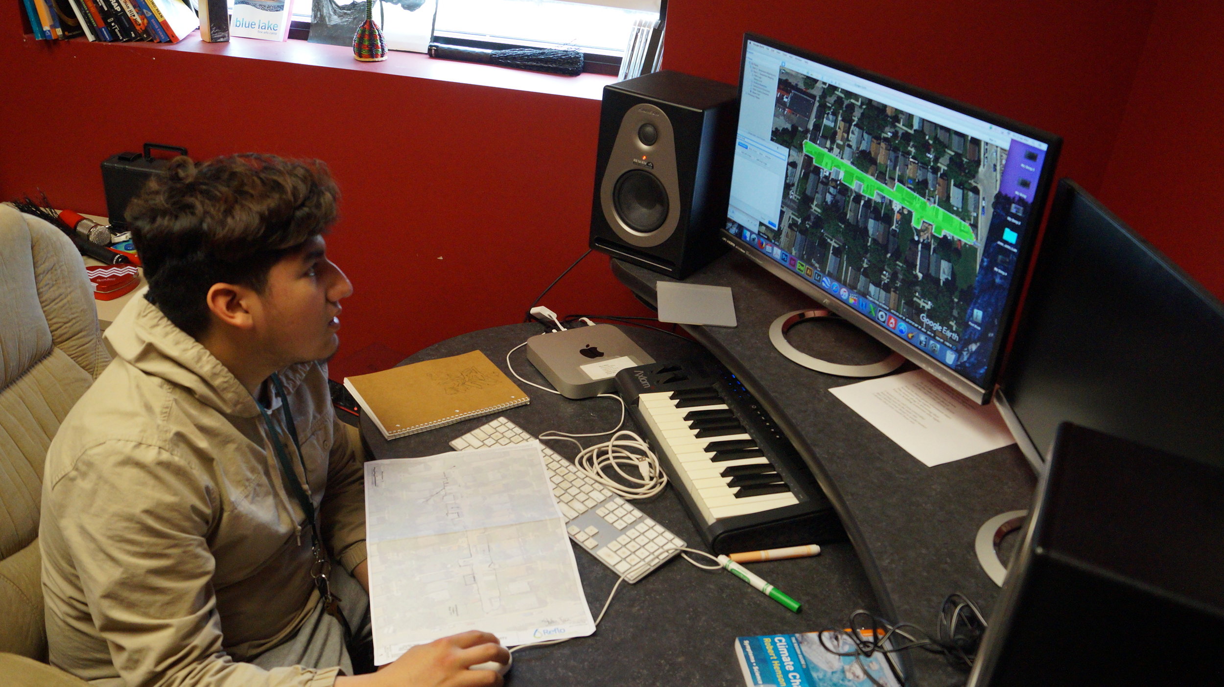
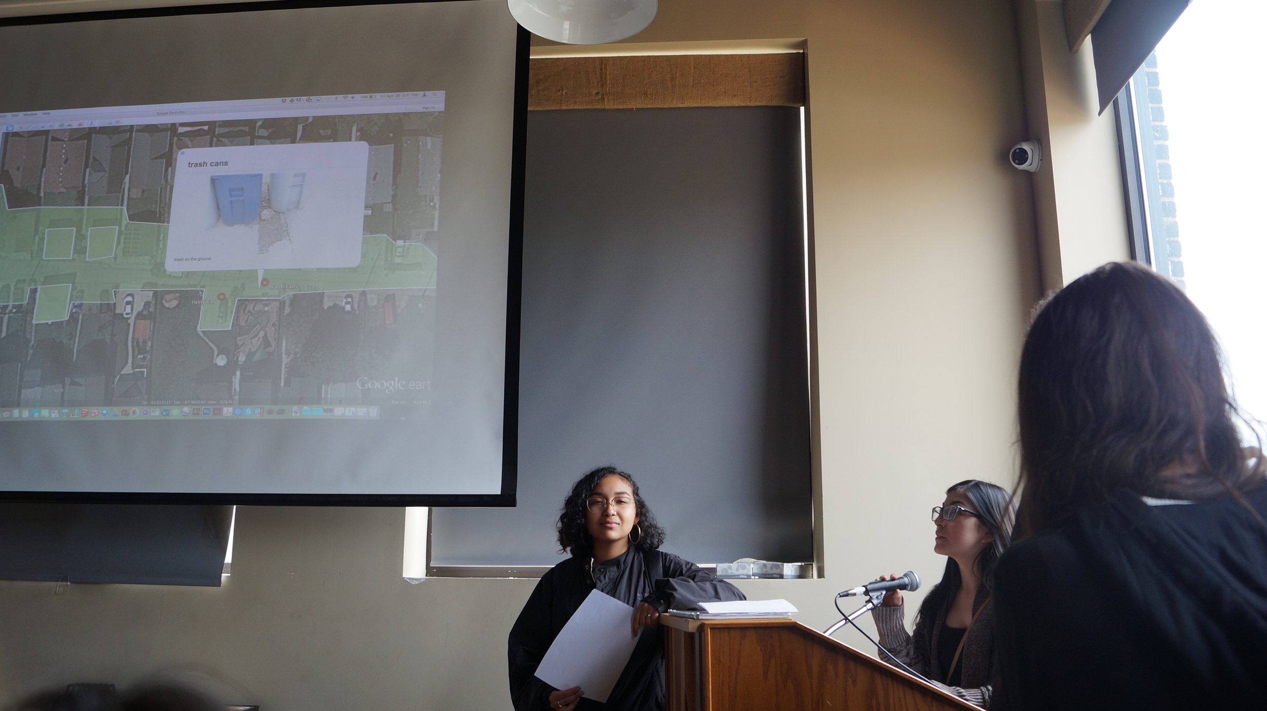
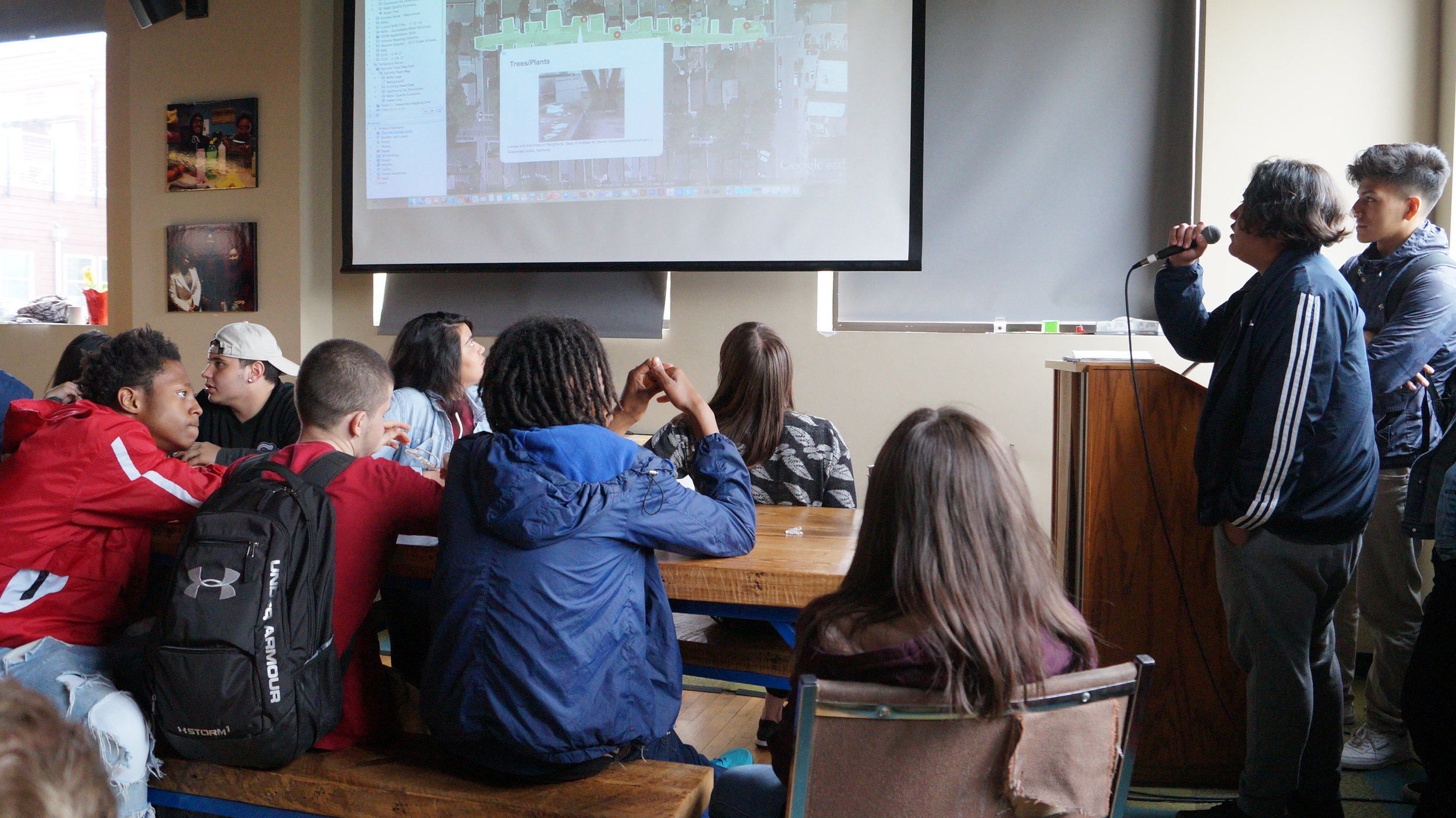
Sewershed Mapping Activity
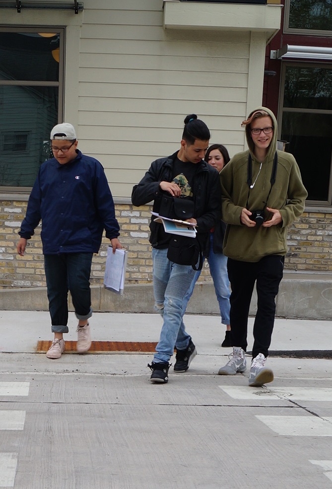
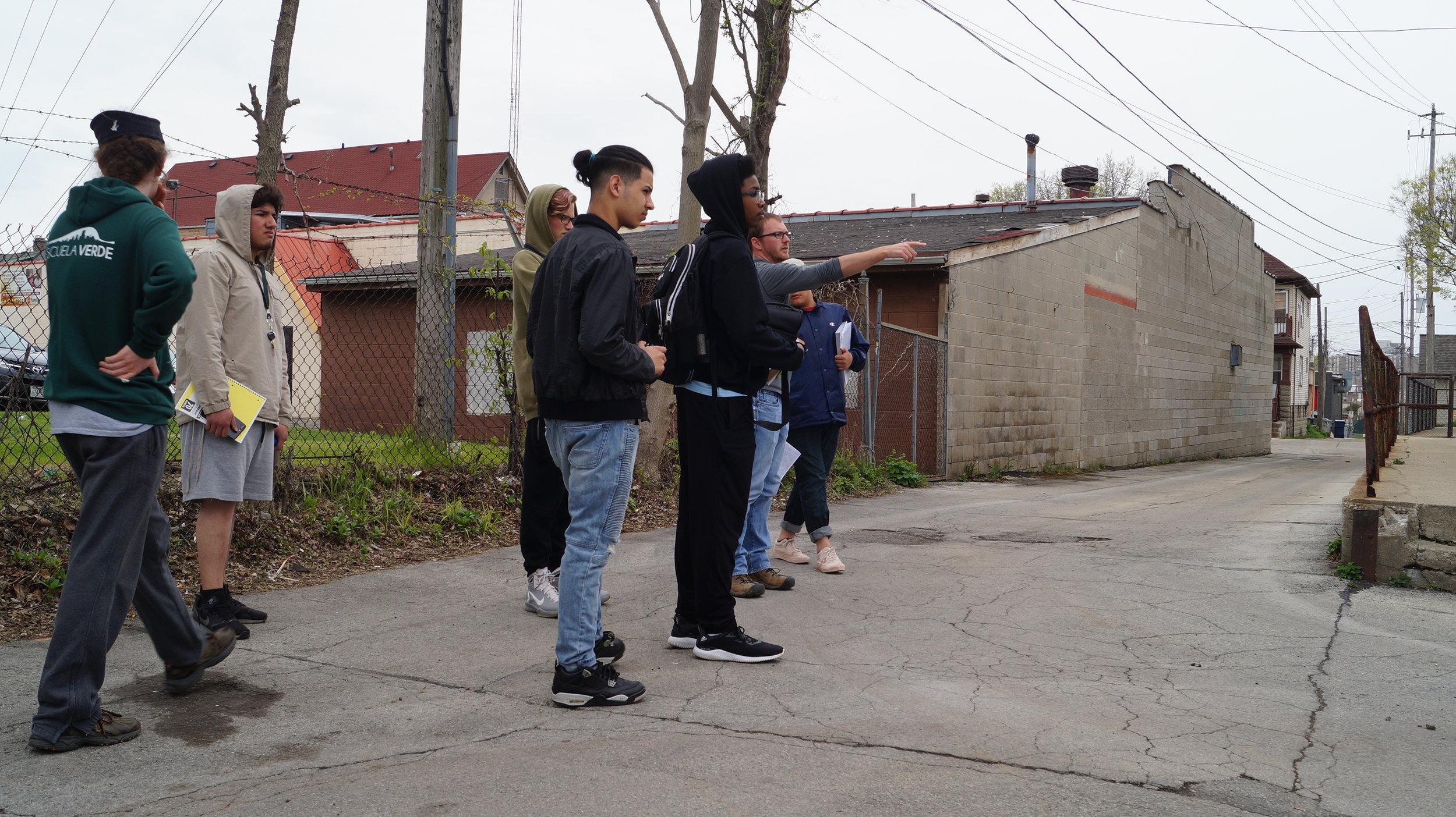
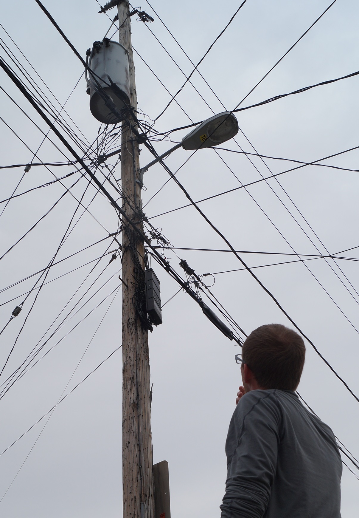
Escuela Verde's Green Team conducted an assessment of a nearby alley that contributes a significant amount of stormwater runoff to a sewer inlet, the area termed a "sewershed". The stormwater runoff had the potential to be diverted into their green infrastructure (GI) project. Students walked through the sewershed and documented potential pollution sources and downspout diversions that could increase the volume of water managed in the GI project. Students took photos, notes, and mapped the extent of the sewershed and transferred their findings into Google Earth where they estimated the volume of stormwater runoff (~60,000 gallons per 10 year / 24 hr storm) and mapped their pictures of potential pollution sources. Students finished the ~4 hour activity by presenting their findings via Google Earth to the entire school and then later at the Green Schools Conference.
Video of the Sewershed Mapping Activity - created by Escuela Verde students